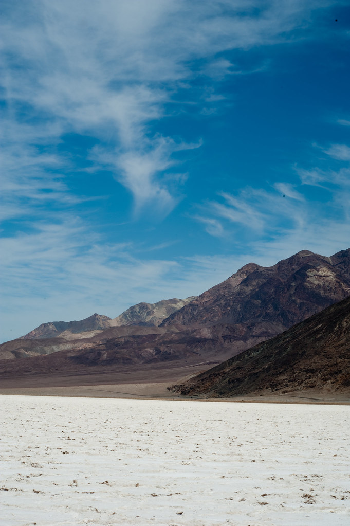
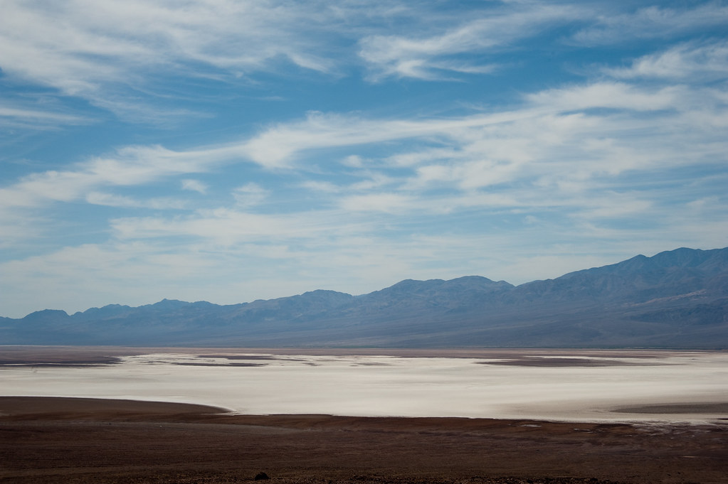
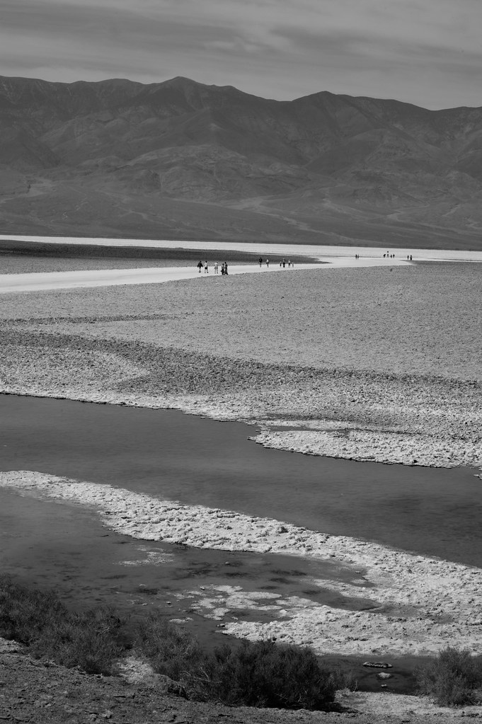
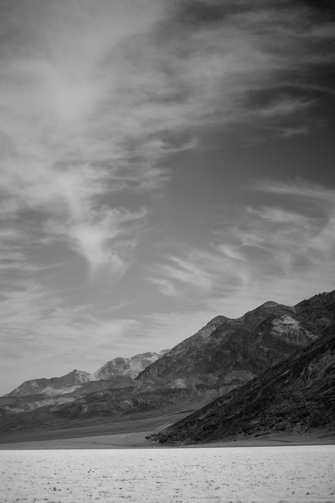
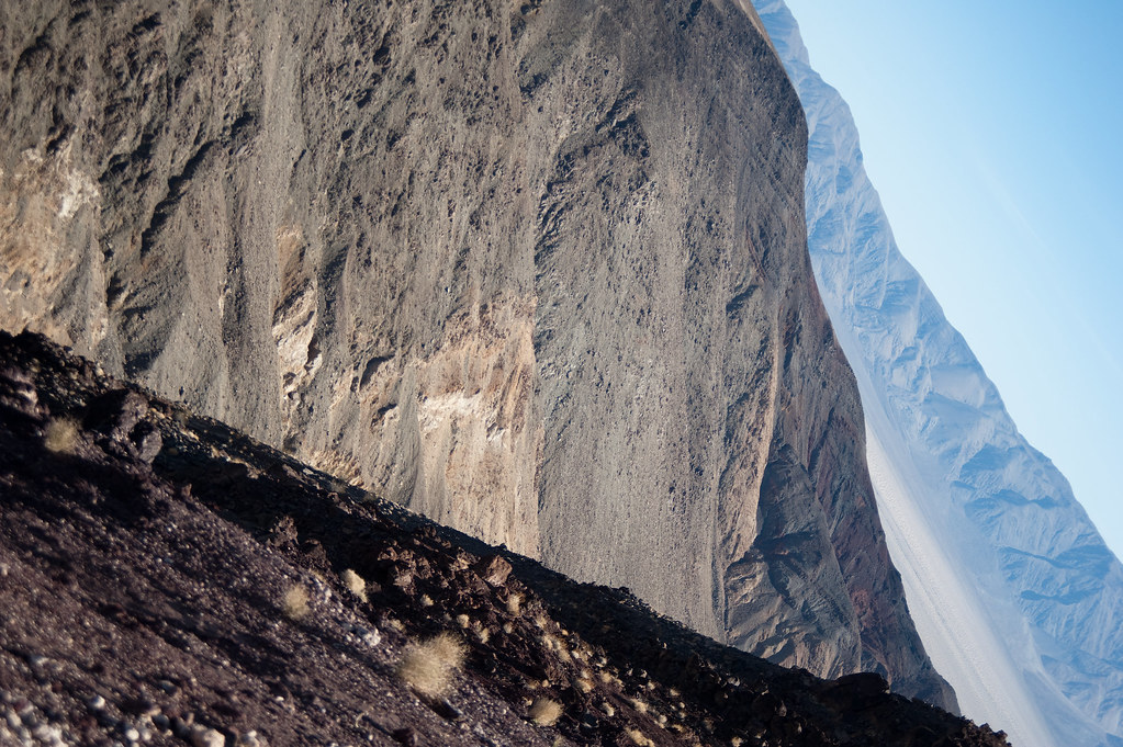
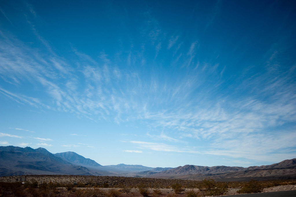
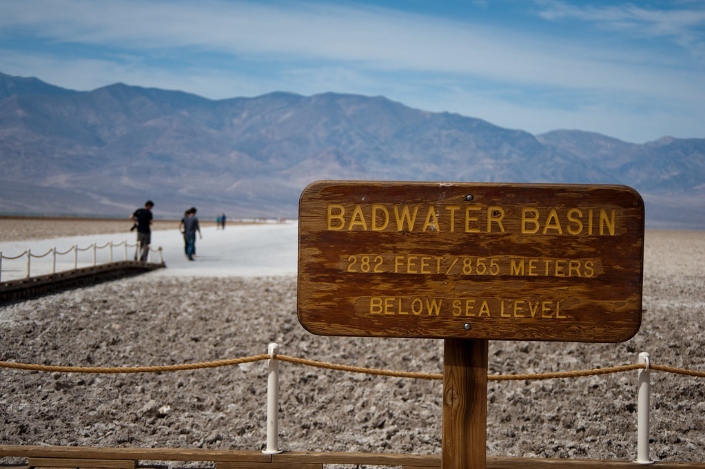
Death Valley is the largest National Park in the continental U.S. So needless to say, we had to concentrate on one area rather than try to see the entire park. We stayed around the Stovepipe Wells and Furnace Creek areas (we camped at Stovepipe Wells and Sunset camp grounds). This means that on our first day we visited Badwater Basin -- so named for the "bad" water at the nearby spring because the water is salty. This is also the lowest elevation point in the U.S., 282 ft. BELOW sea level. And the view includes a fairly tall, snow-capped Telescope Peak (11,049 ft.).
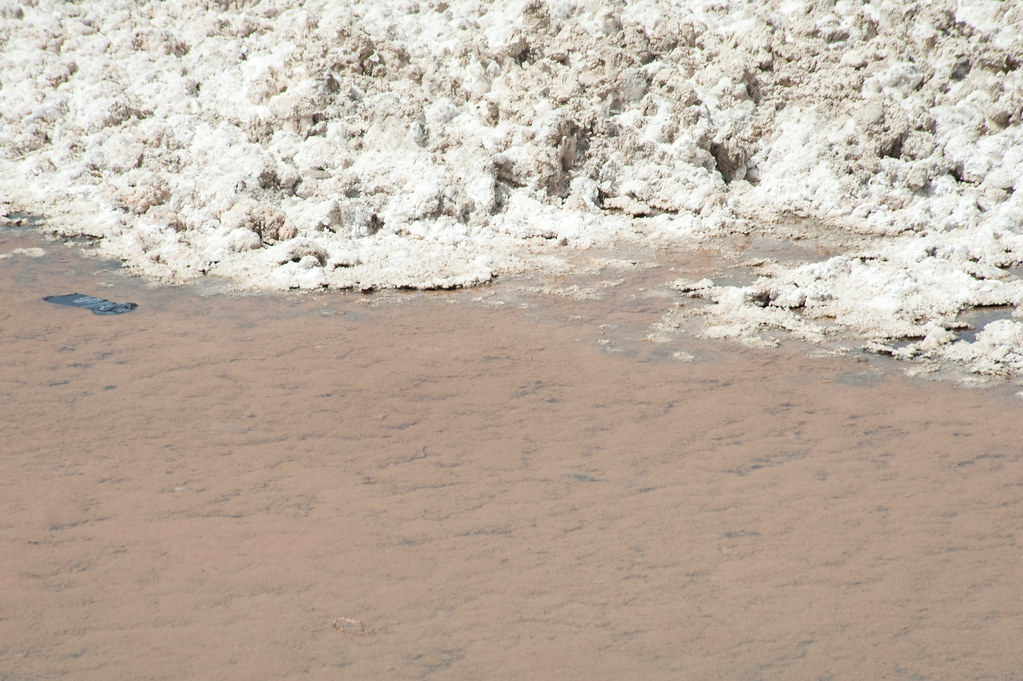
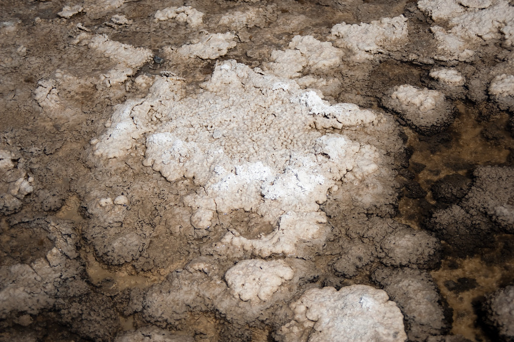
Badwater Basin is also the site of the Death Valley salt flats. The salt pan on the floor of Death Valley covers more than 200 square miles. It is 40 miles long and more than 5 miles wide. This is the largest protected salt flats in the world. According to the National Park Service website, the Badwater Basin salt flats has all "three basic things [that] are needed for salt flats to form:
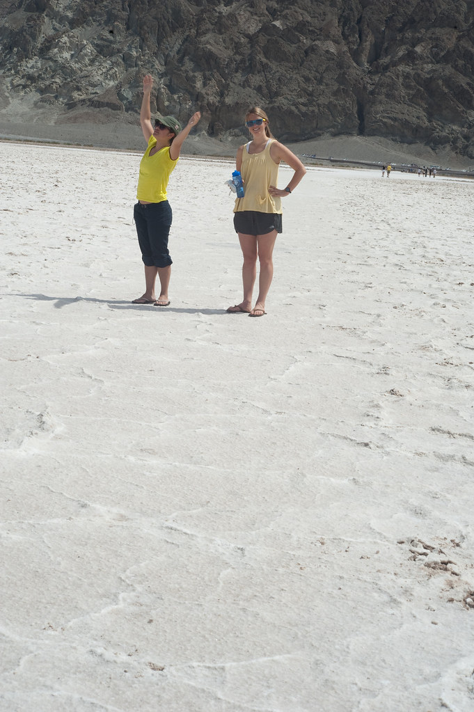
My travel buddies...
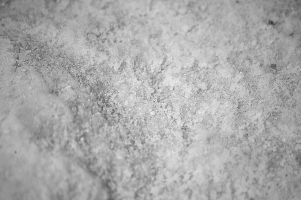
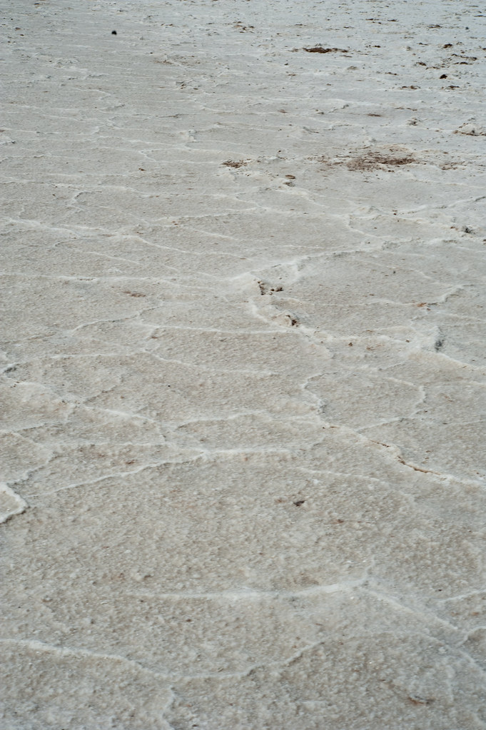
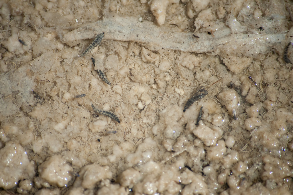
Life in the salt:
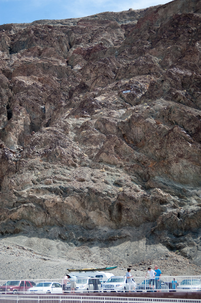
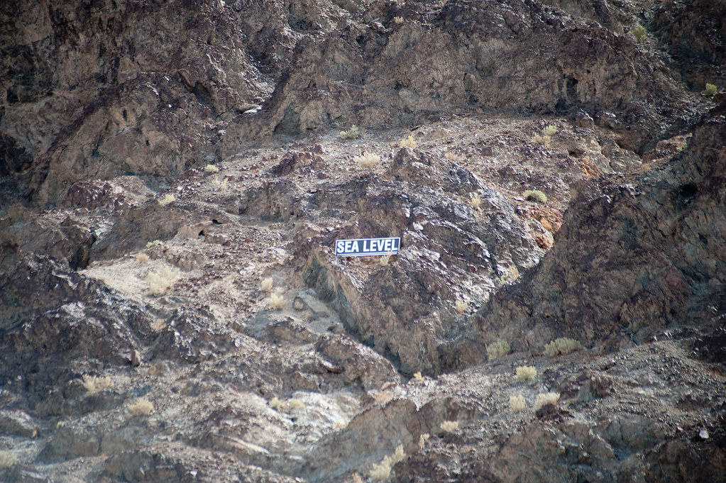
Look closely... you can see a sign that says where sea level is:
Badwater Basin is also the site of the Death Valley salt flats. The salt pan on the floor of Death Valley covers more than 200 square miles. It is 40 miles long and more than 5 miles wide. This is the largest protected salt flats in the world. According to the National Park Service website, the Badwater Basin salt flats has all "three basic things [that] are needed for salt flats to form:
- source of salts, usually from a large drainage system
- enclosed basin that doesn't drain to the sea and wash away the salts
- arid climate where evaporation exceeds precipitation, leaving behind just the salts and fine silt."
My travel buddies...
Life in the salt:
Look closely... you can see a sign that says where sea level is:
No comments:
Post a Comment